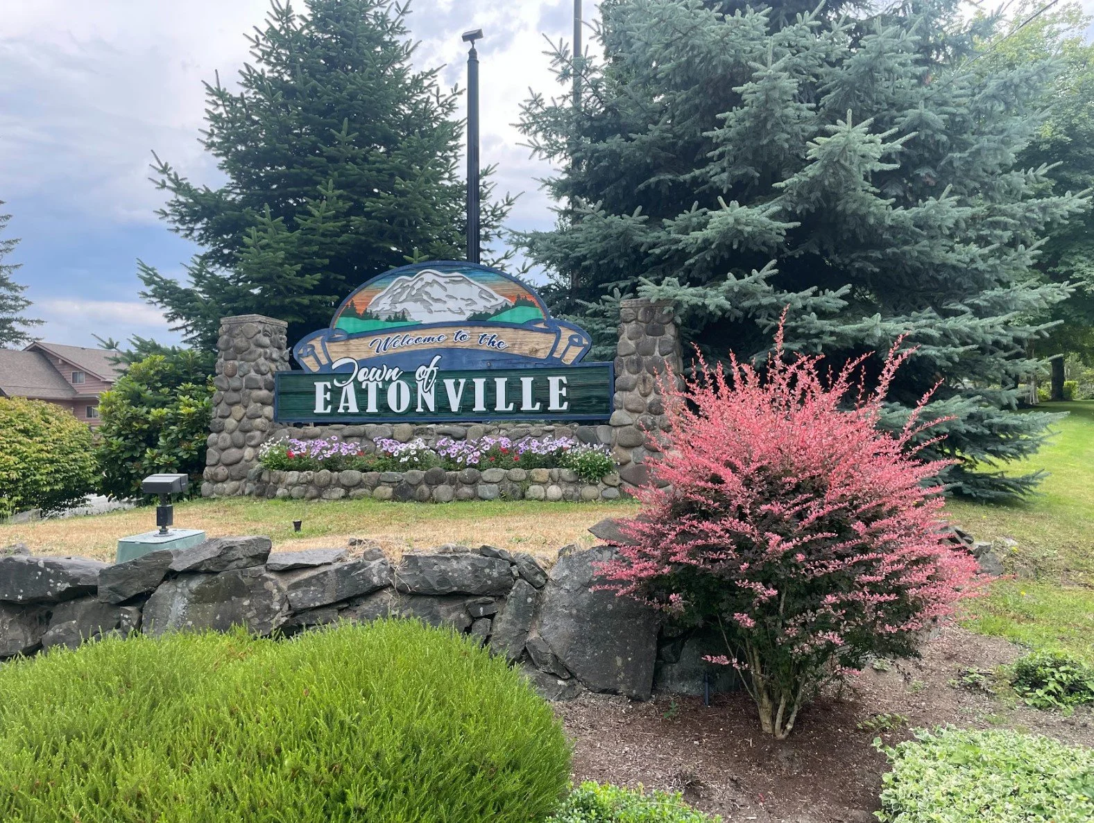
Town of Eatonville
Comprehensive Plan Update
-
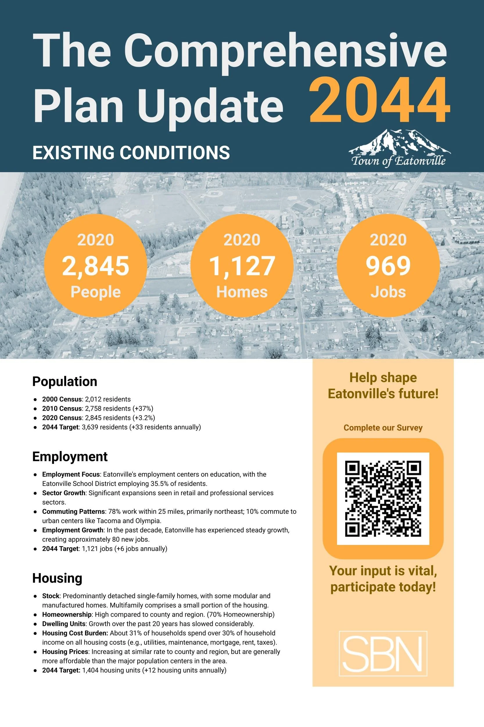
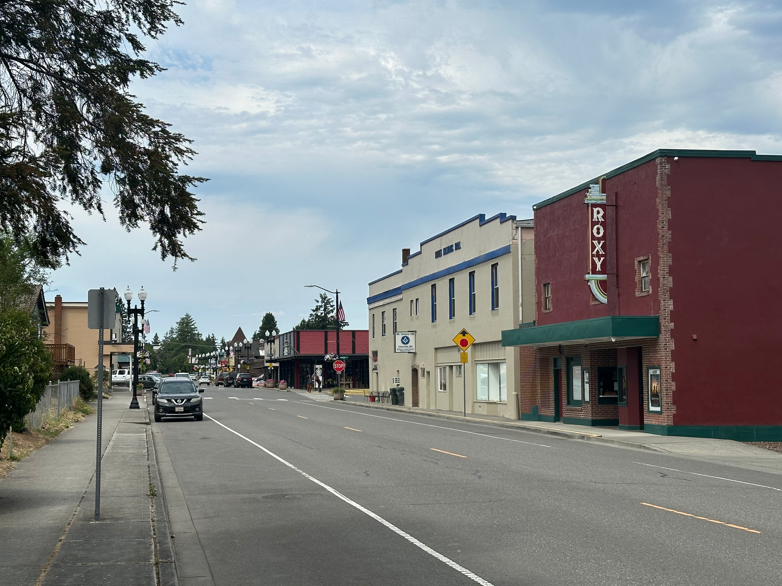
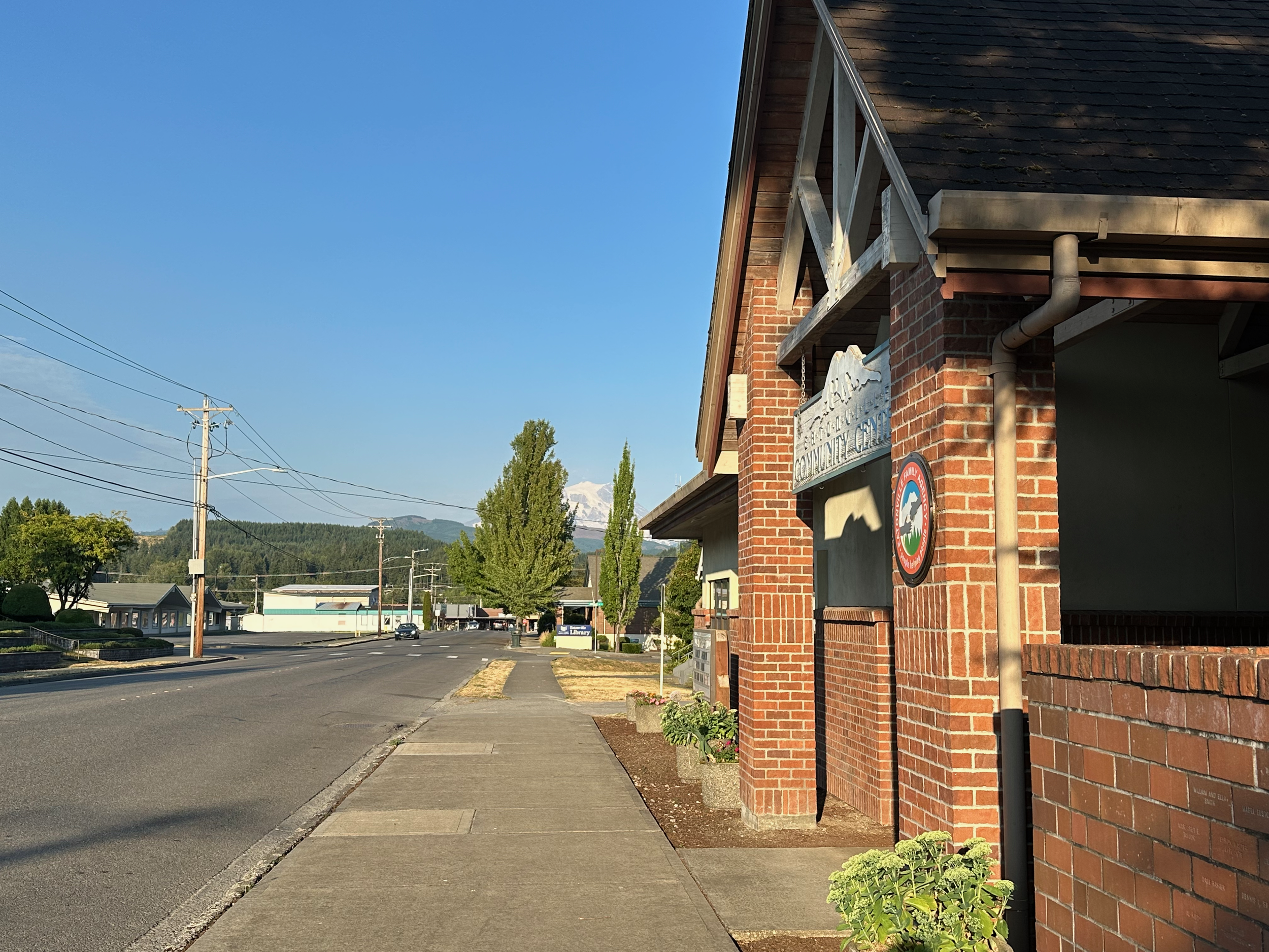
As a small rural community with a variety of land use and zoning designations, our team worked with staff, and took public feedback on how to best help the community grow into their vision, while also meeting the state, regional, and county requirements.
-
With the state legislature adopting over 20 unique pieces of housing legislation, and with several landmark bills (HB1110, HB1337, SB5290, and HB1181) our team did an analysis of the Town’s existing municipal code and provided a thorough gap analysis document for their staff to use in development regulation and plan document updates as part of their implementation plan.
-
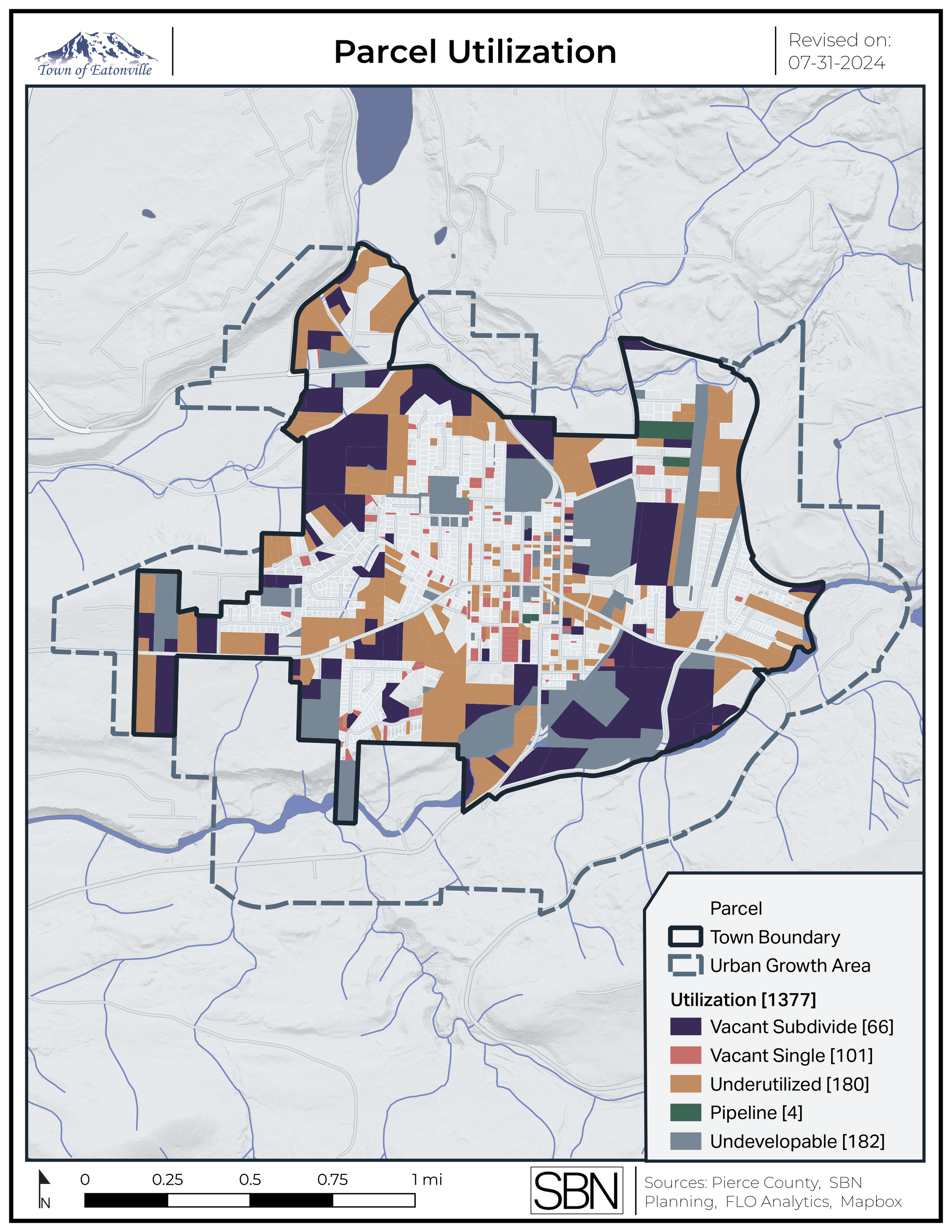
Our team worked with the county, state agencies, and staff to collect and clean relevant spatial data for the Town. New maps were created for the comprehensive plan, and a range of maps were developed for use by Town staff and residents. This newly-organized database was passed on to Town staff for future use after the Update was complete.
Project description
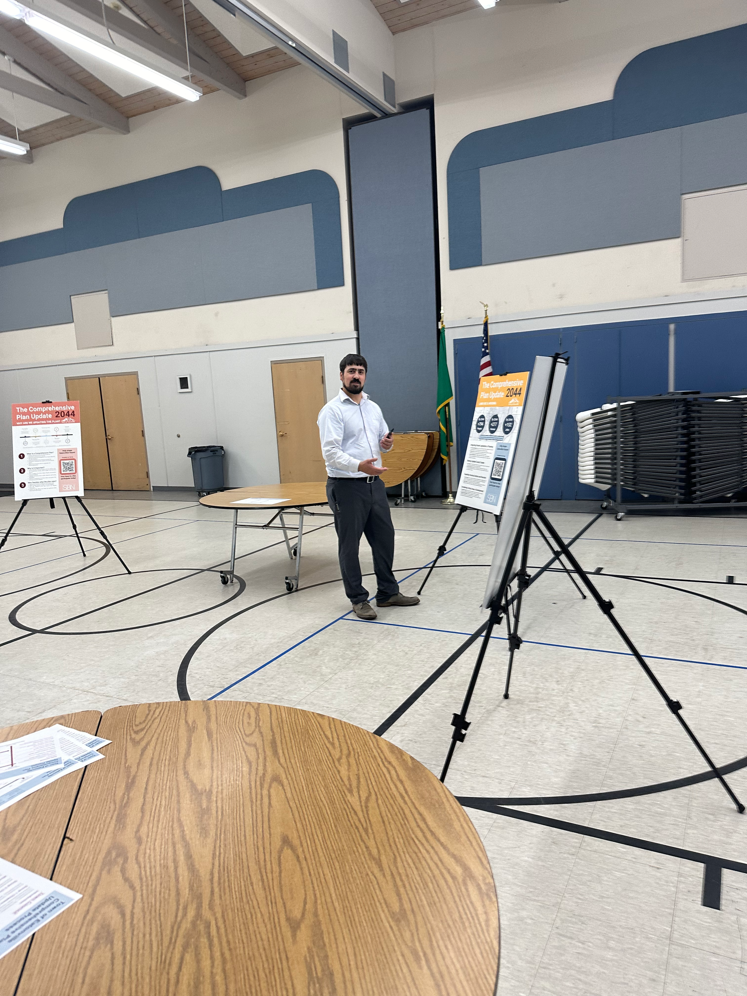
SBN was brought in with less than a year remaining in the periodic update cycle to adopt a new Comprehensive Plan. Our team took over grant management, organized public engagement, and updated the plan during several major transitions in Town staffing. We worked closely with staff during those transitions and ensured an on-time adoption at the jurisdiction.
Services Provided
GIS Analysis
Housing and Land Capacity Analysis
Grant and Budget Management
Public Engagement
Development Regulation Gap Analysis