GIS Services
-
Data collection, cleaning, organization, and maintenance
Database design
Organizational needs assessment
Collaborative data management
Technical training in data and GIS tools
-
Cartographic layout and design
Spatial analysis and reporting
Script-writing for automation of repetitive GIS tasks and reporting
Internal and external-facing GIS web applications
Large-format map printing and production
-
Charts, tables, and graphics for all levels of knowledge and interest
Cleaning and preparation for all types of data (e.g., tabular, raster, and vector)
Technical reports and analysis
Assessment of actionable insights and outcomes
-
Purposeful dashboards to support active engagement and clear insight
Data storytelling through scrollable interfaces using tools such as ESRI Storymap and R Shiny
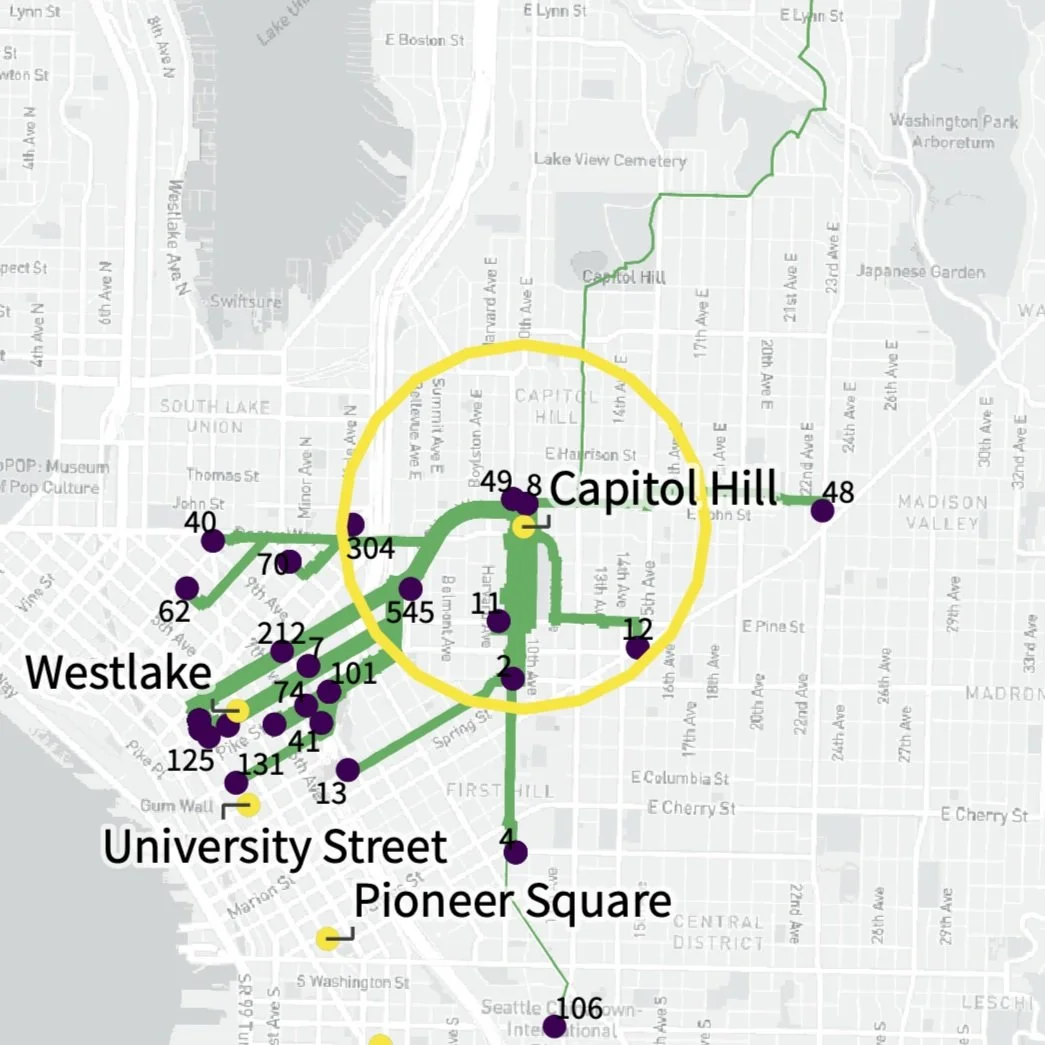
Interactive mapping tools for internal or external use, supporting staff efficiency, answering public questions, and offering additional routes for partiipcation
Project-tailored products which respond to client needs and audience interests
SBN Planning’s approach and experience demonstrate a commitment to high-quality data analysis services. A core value of our data work is responsiveness to the various levels of technical knowledge we work with. Data is a critical tool, and we are committed to ensuring that project stakeholders are empowered through accessible, interpretable, and actionable insights.
Analysis developed by SBN partners has informed policy at local, state, and federal levels and supported engagement on topics and projects such as:
Long-range planning: Housing Needs Assessment, Land Capacity Analysis, Public Engagement
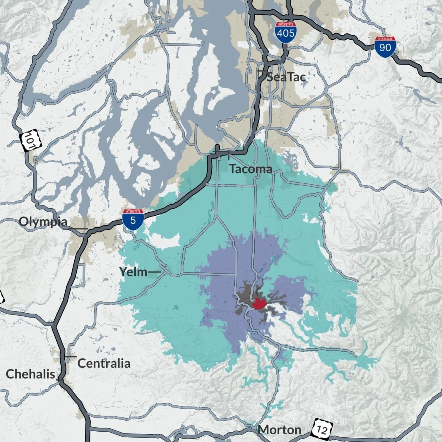
Current planning: Tree canopy analysis, critical area review, assessment of lots and geographies impacted by policy proposals, development trends analysis
Pipeline safety: Public policy analysis, operator and incident statistics and comparison, materials for federal and state-level testimonies, environmental justice considerations, state regulator transparency reviews
Development feasibility: Site analysis including built and environmental factors
We aspire to be the bridge that connects the technical analysis of data and mapping with policy and planning practices, reflecting the lived experiences of communities in future problem-solving.
Services Provided
Technical, general, and cartographic GIS services
Responsive data analysis and visualization
Data collection, cleaning, and management
Database creation and design
Interactive data products
Long-range planning & growth mangement analysis
Public engagement analytics
Technical training and project handoff services
Flexible tech stack including experience with:
R & R Shiny
ESRI Products (e.g., ArcGIS Pro, ArcGIS Online, Storymaps)
Python
QGIS & PyQGIS
Leaflet, Mapbox, & CARTO
Tableau